Log in
All resources
Create a design
1,095,938 Free Images of Maps Of Carniola
maps in the library of congress
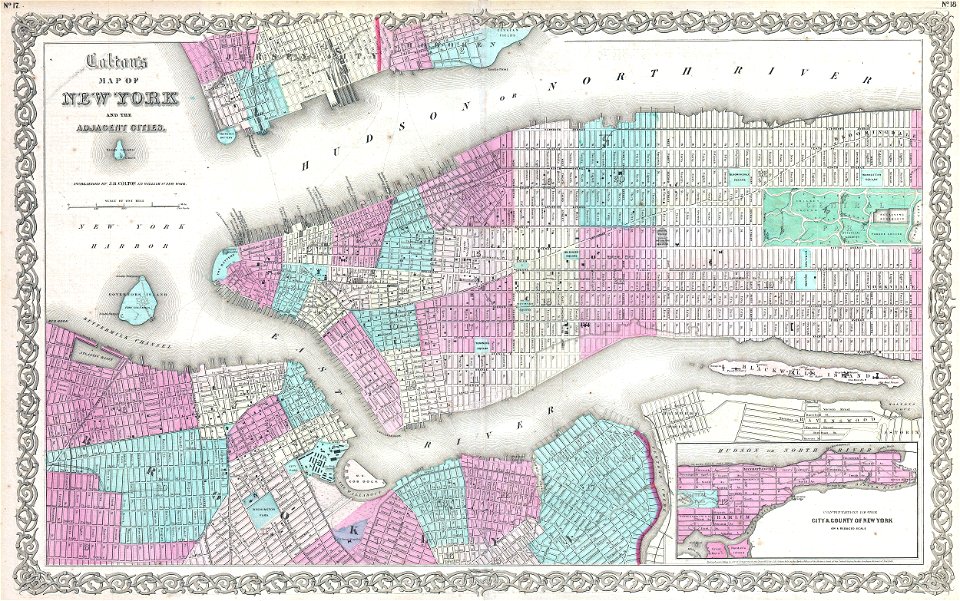
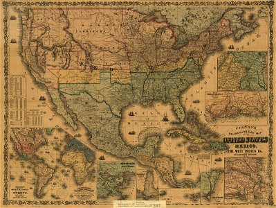
maps by joseph hutchins colton
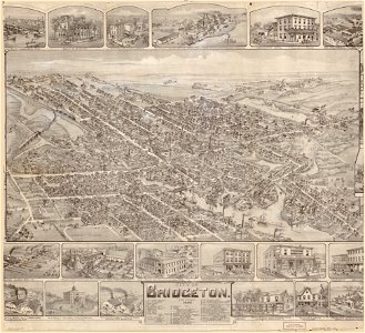
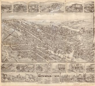
o. h. bailey
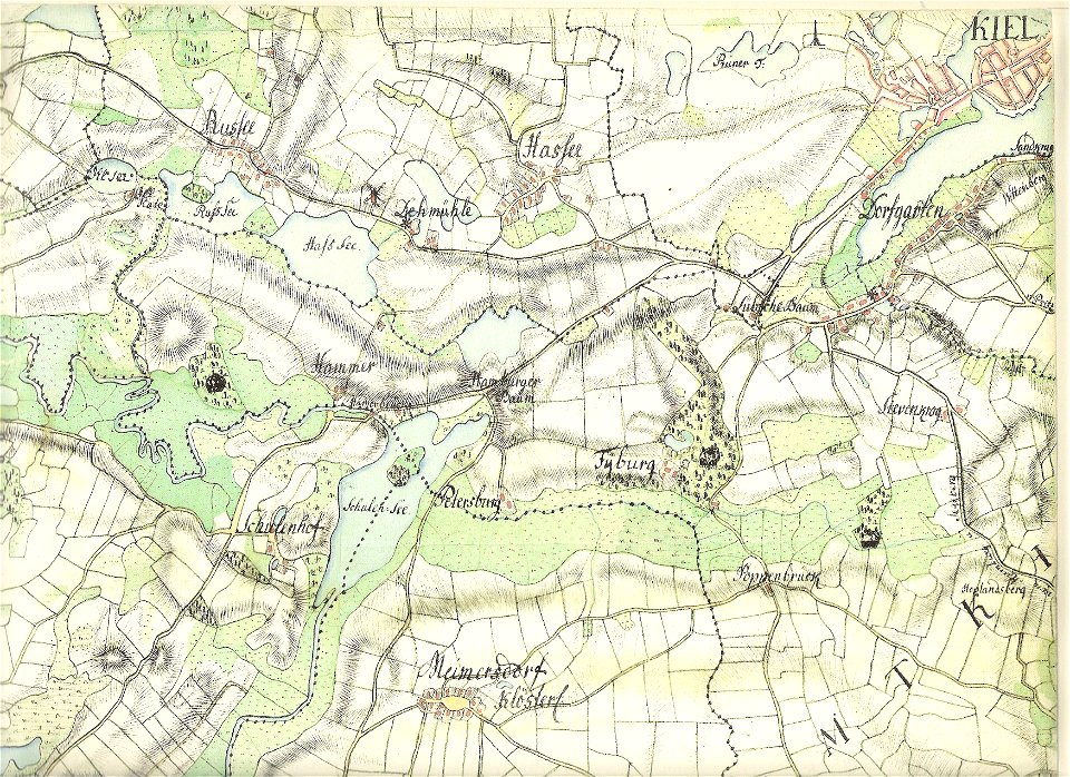
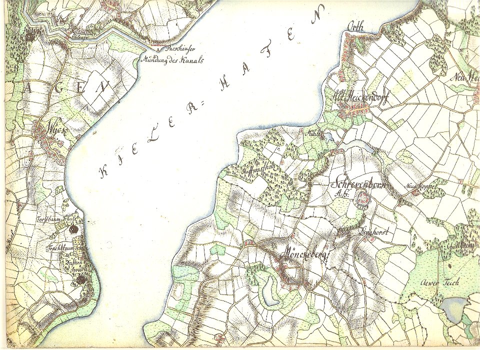
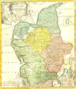
18th-century maps of schleswig-holstein
maps by gustav adolf von varendorf
old maps of kiel
albert ruger
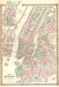
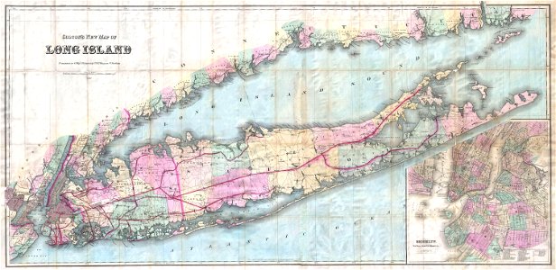
old maps of new york city
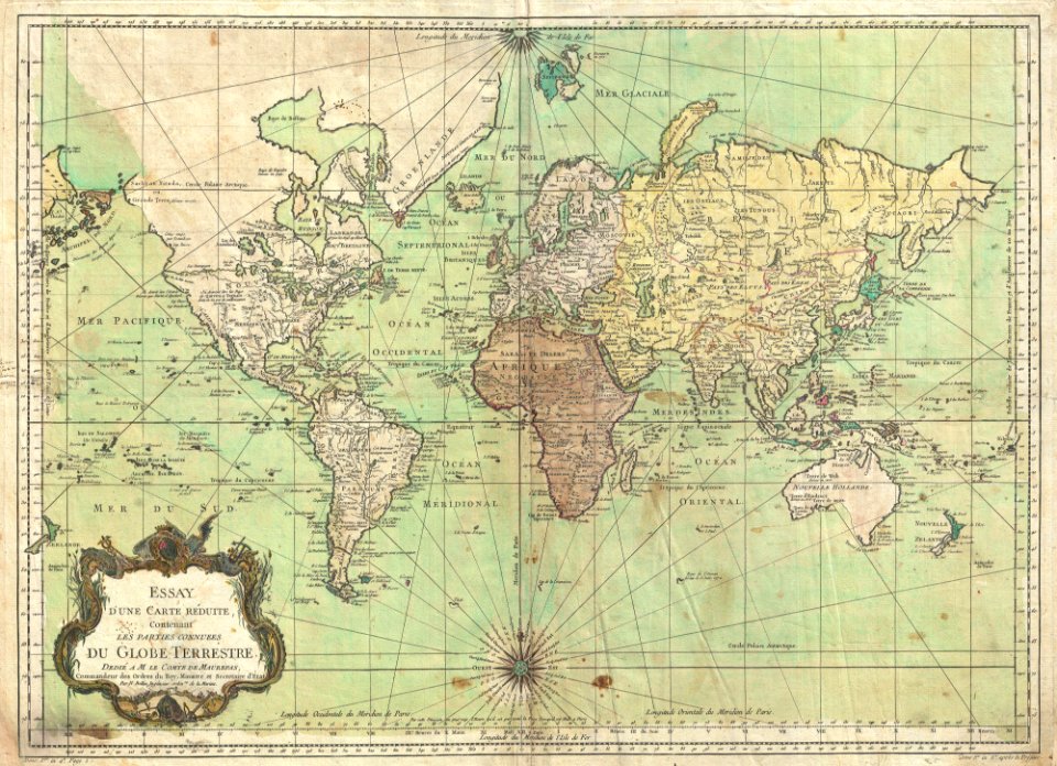
maps by jacques-nicolas bellin
jacques-nicolas bellin
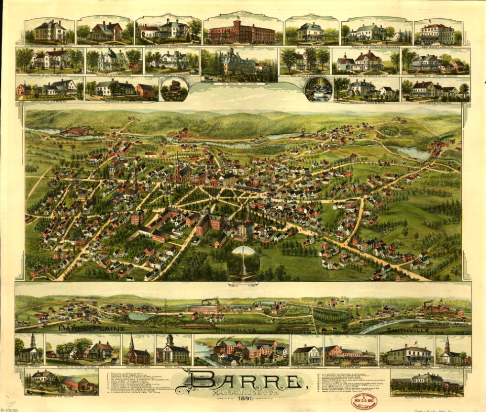
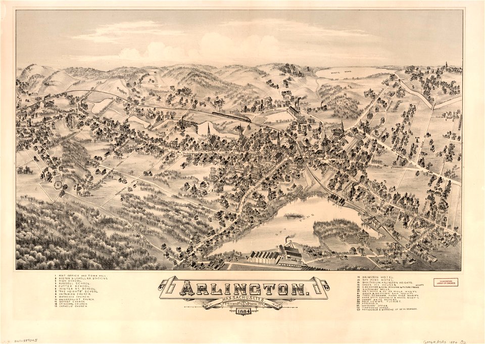
old maps of massachusetts
o. h. bailey
old maps of massachusetts
o. h. bailey
massachusetts
o. h. bailey
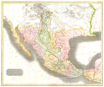
1810s maps of mexico
1814 in mexico
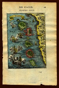
17th-century maps of indonesia
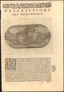
description de l'universe
18th-century maps of indonesia
description de l'universe
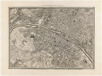
maps of paris from paris musées
plan de roussel
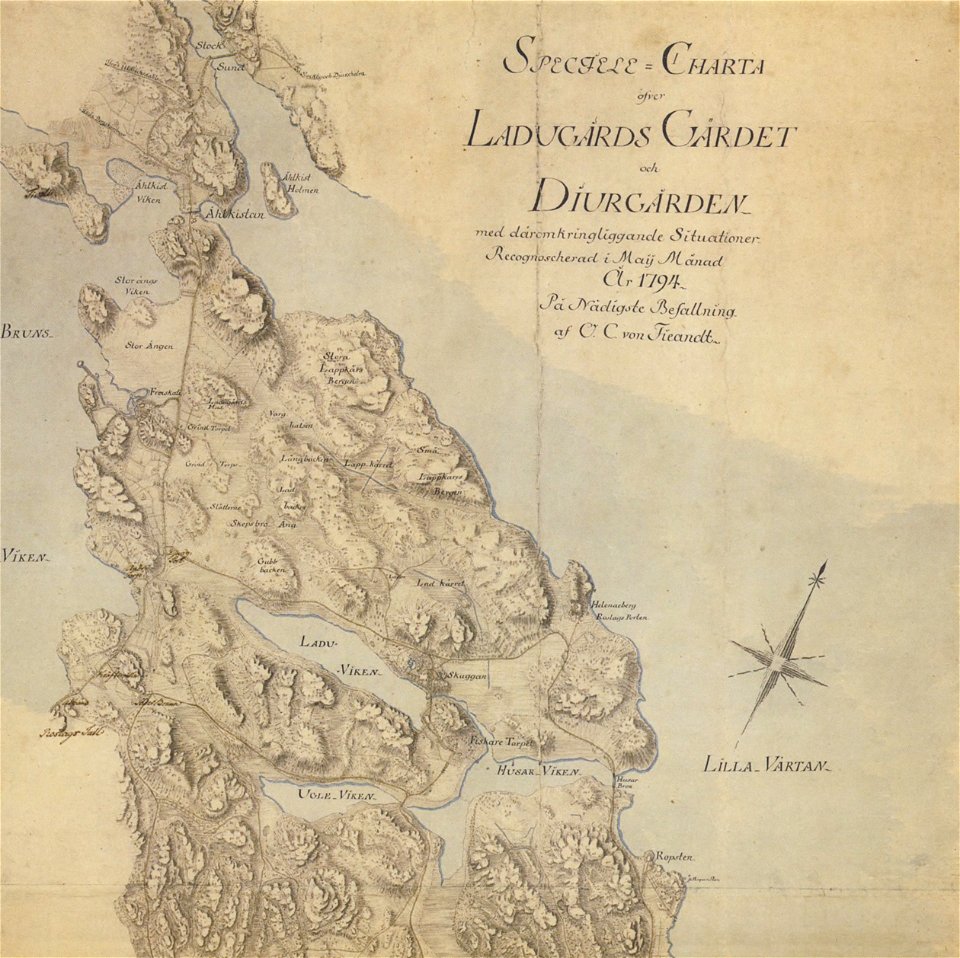
18th-century maps of stockholm
maps of gärdet
1780 maps of pennsylvania
1780 maps of new jersey
prints from bonne atlas de toutes les parties at the peace palace library
1780 maps of canada
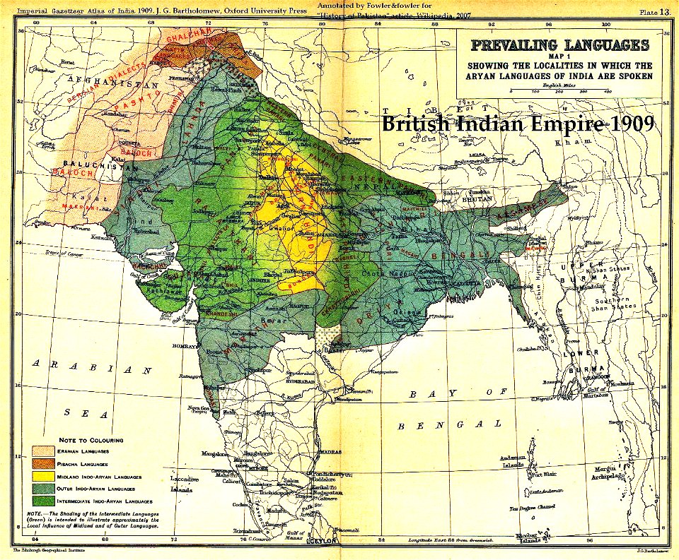
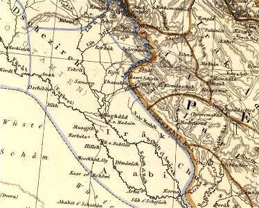
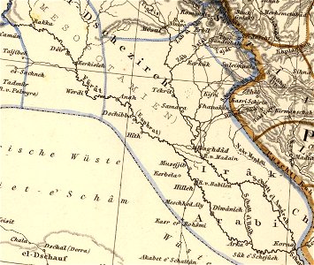
old maps of the indian subcontinent
maps of british india
maps by willem and johannes blaeu
latin-language maps
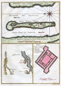
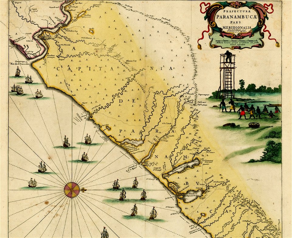
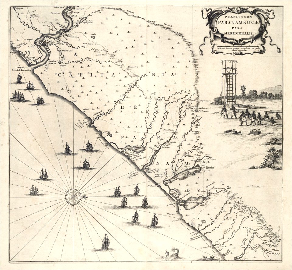
old maps of pernambuco
1665
maps of the dutch east india company - indonesia
maps of east java
french-language maps of china
changzhou
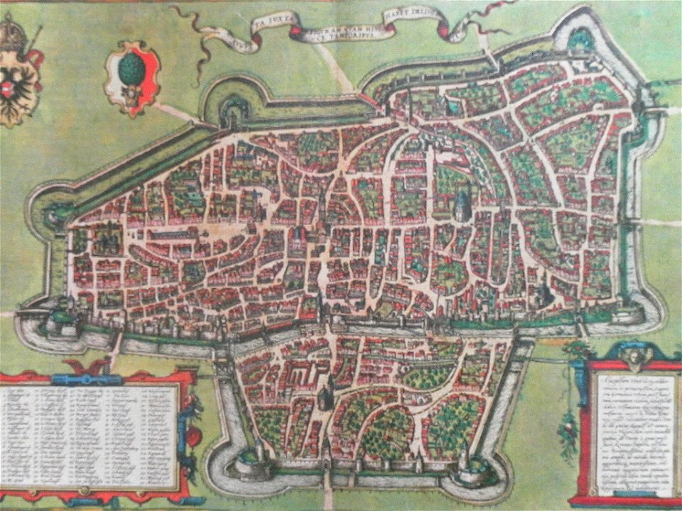
elburg
wesel
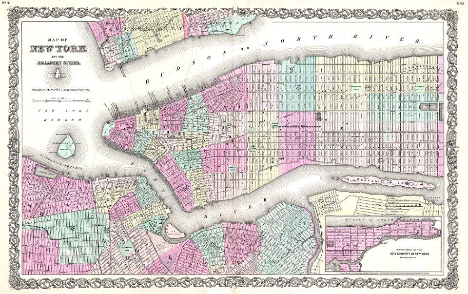
old maps of manhattan
new york city
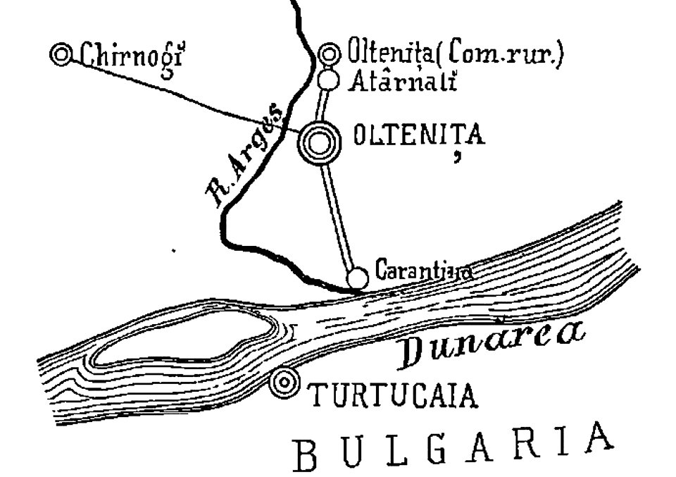
quarantine facilities in romania
1895 in romania
old maps of manhattan
new york city
old maps of new york city
english-language maps
maps by jacques-nicolas bellin
1750 maps
david rumsey historical map collection
j. and p. knapton
old maps of new york city
1865 maps
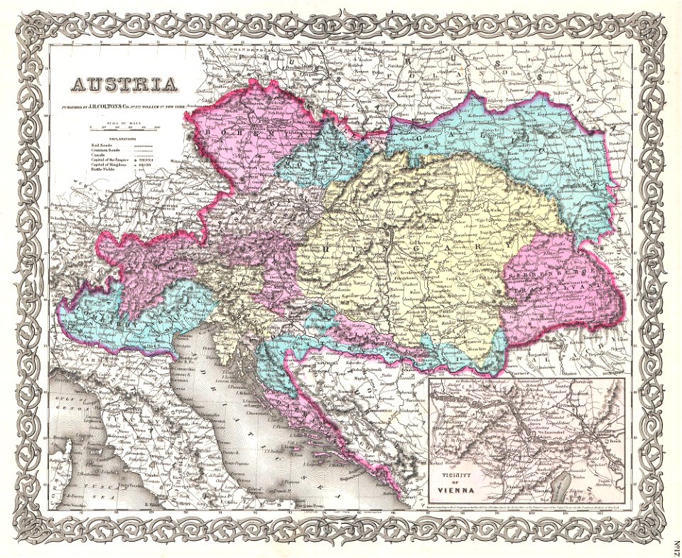
old maps of the austrian empire
1855 maps
19th-century maps of central america
1855 maps
old maps of new york city
1855 maps
19th-century maps of london
1855 maps
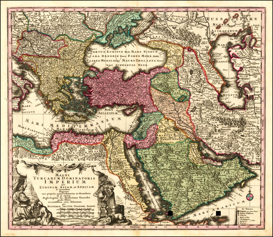
maps by matthäus seutter
latin-language maps
maps by matthäus seutter
latin-language maps
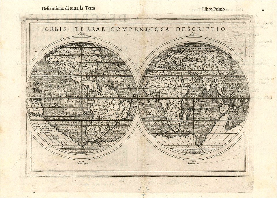
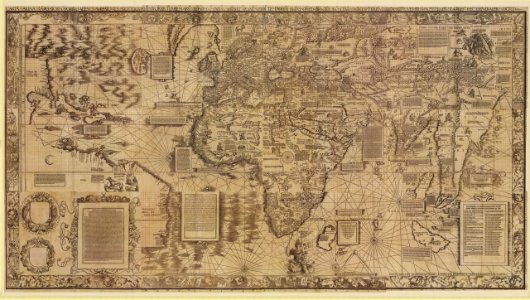
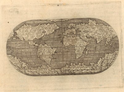
double hemisphere world maps
1590s maps of the world
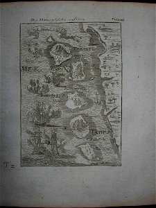
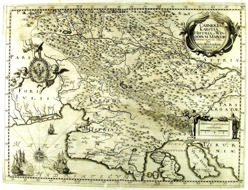
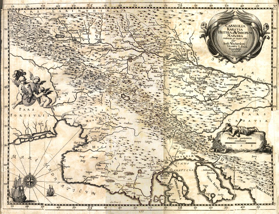
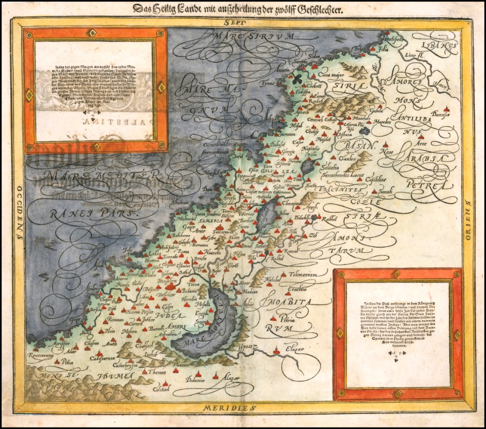
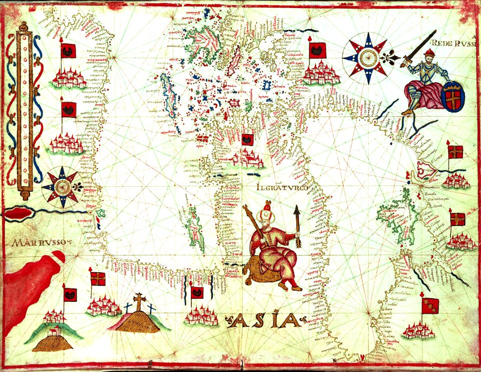
17th-century maps of slovenia
1689 maps
17th-century maps of slovenia
1689 maps
17th-century maps of slovenia
1689 maps
maps by sebastian münster
german-language maps
maps in the biblioteca federiciana
old maps of marche
maps by abraham ortelius
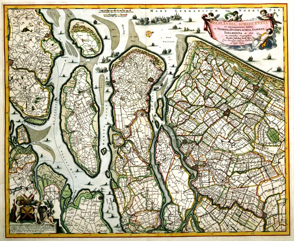
old maps of zeeland
maps by willem and johannes blaeu
old maps of the danube
images from the new york public library
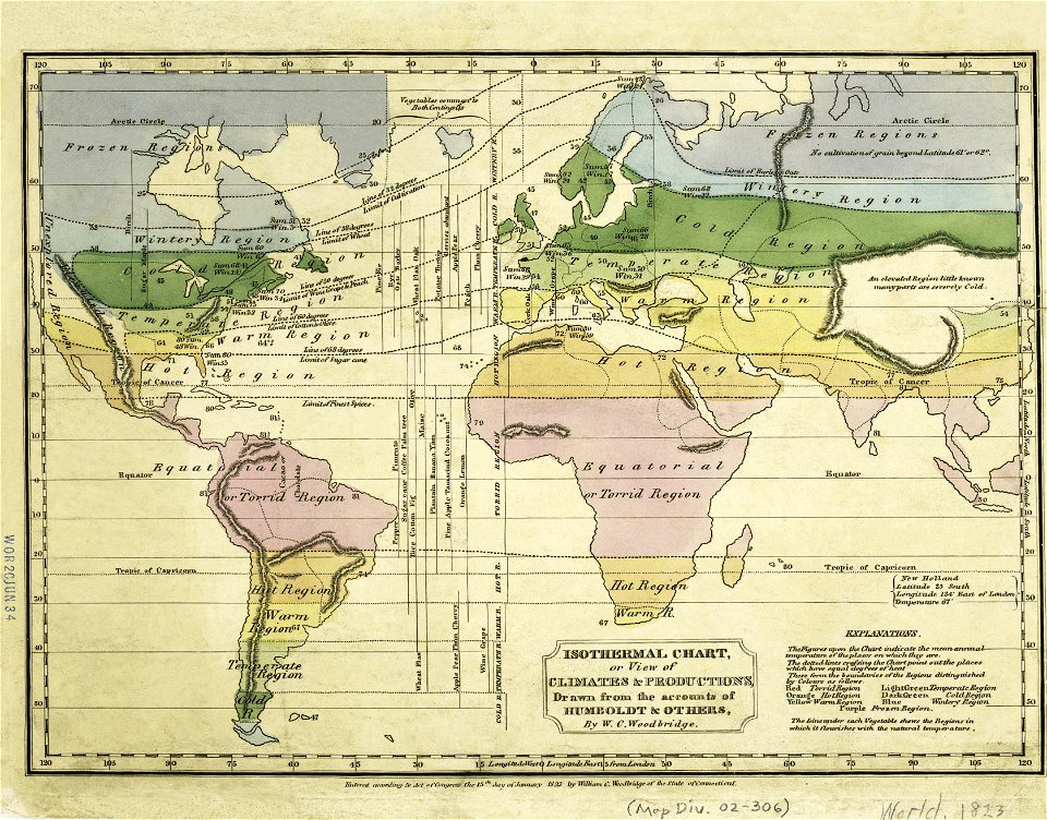
old weather and climate maps
images from the new york public library
old weather and climate maps
maps by jacques-nicolas bellin
german-language maps
maps by jacques-nicolas bellin
jacques-nicolas bellin
maps by jacques-nicolas bellin
old maps of saint lucia
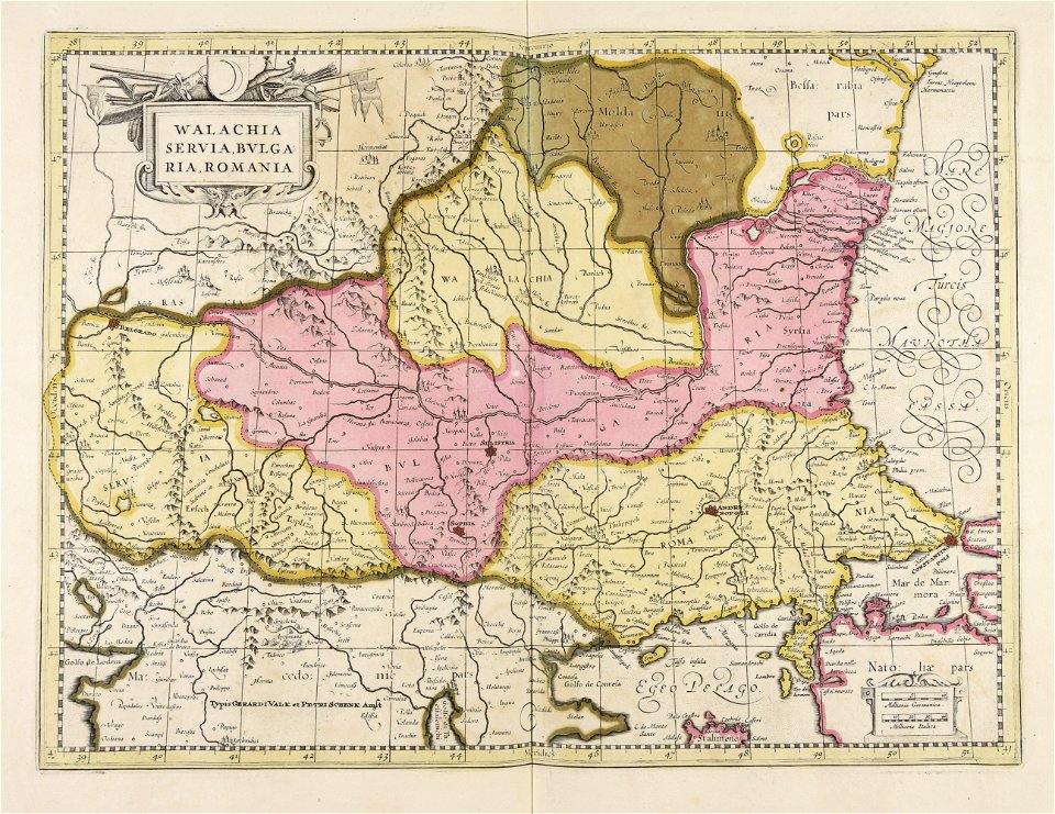
maps of romania
gerard valck
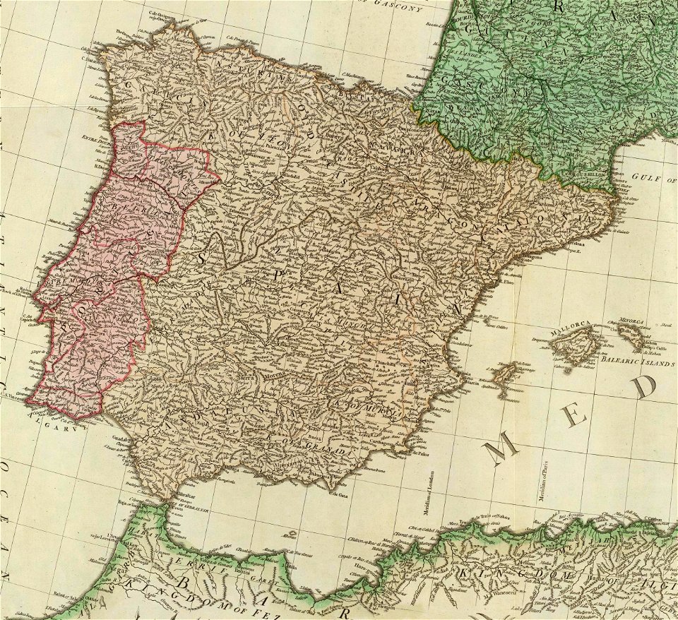
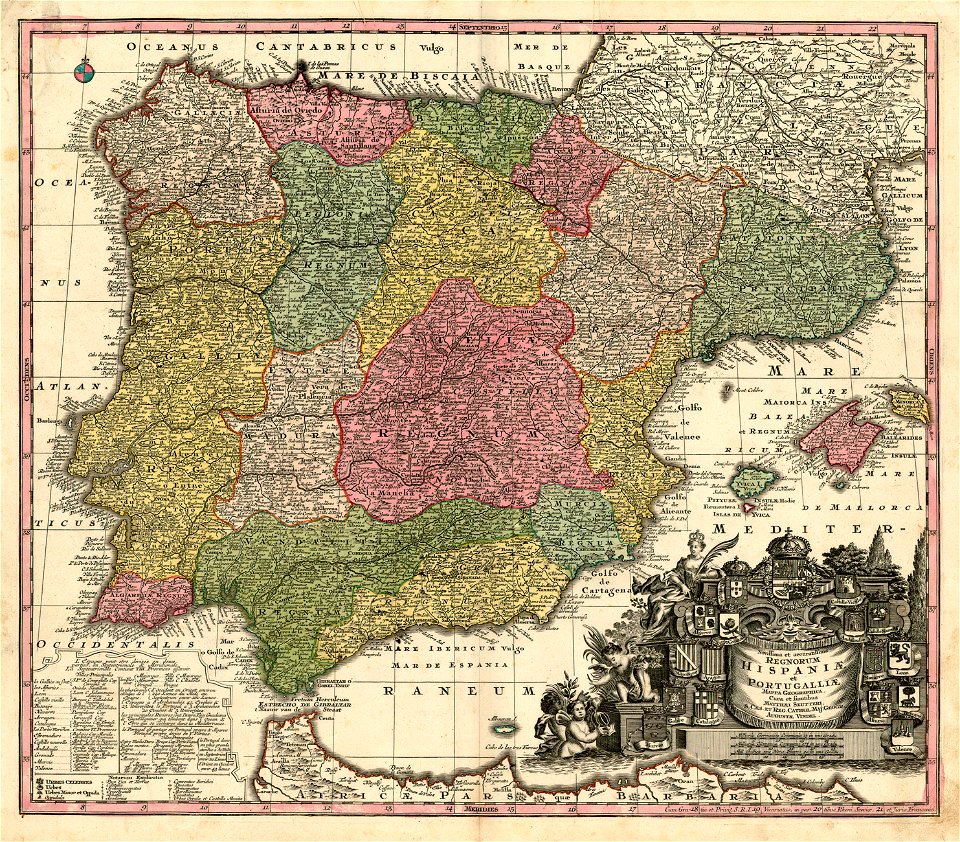
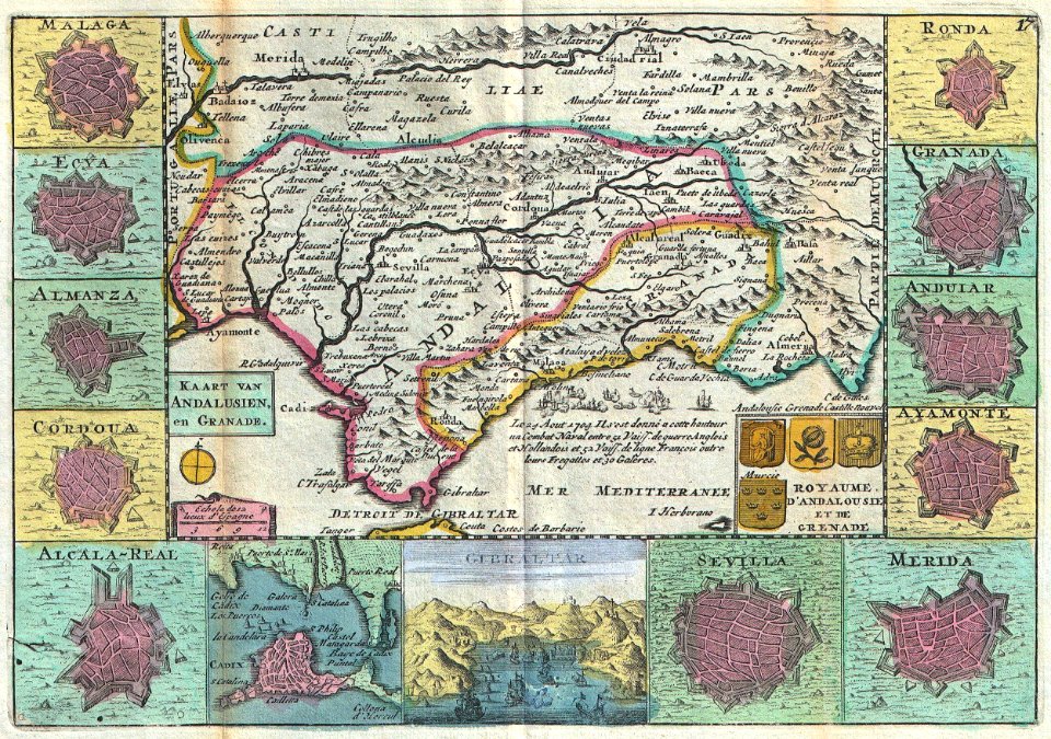
old maps of the iberian peninsula
1780s maps of spain
16th-century maps of the mediterranean sea
16th-century maps of the black sea
victor levasseur - maps of the world
frédéric-auguste laguillermie
17th-century engravings
frans post
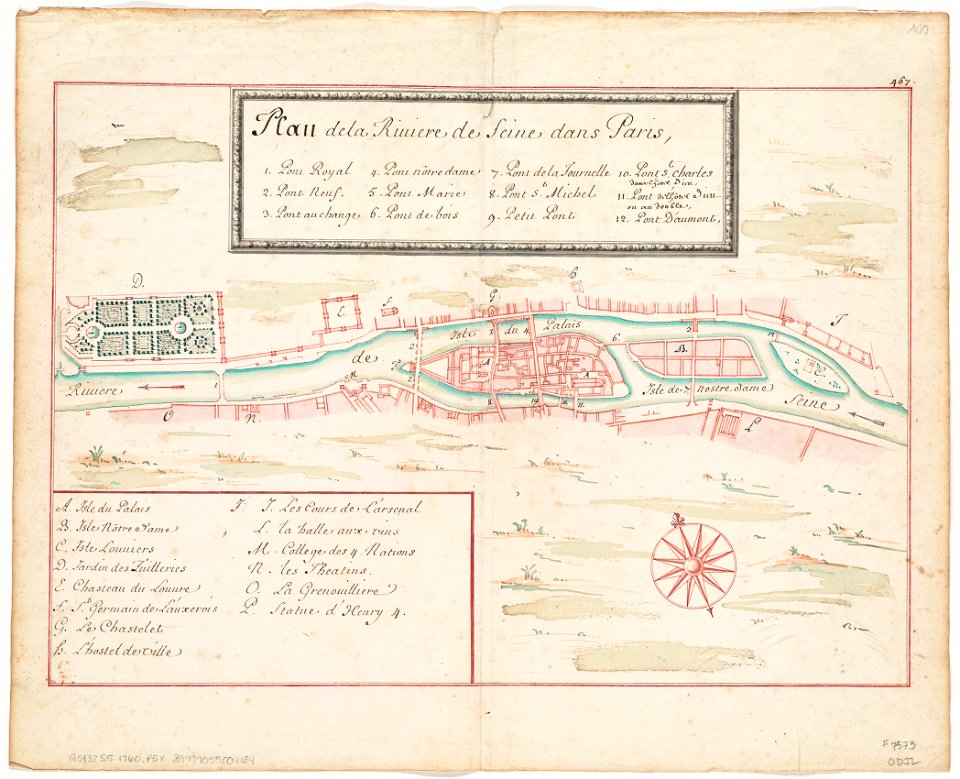
seine river in paris
1760 maps
seine river in paris
1760 maps
maps by george h. walker and company
maps in the library of congress
maps by george h. walker and company
maps in the library of congress
maps with cartouches
old maps of zeeland
17th-century maps of brazil
old maps of pernambuco
maps by george h. walker and company
maps in the library of congress
maps by george h. walker and company
maps in the library of congress
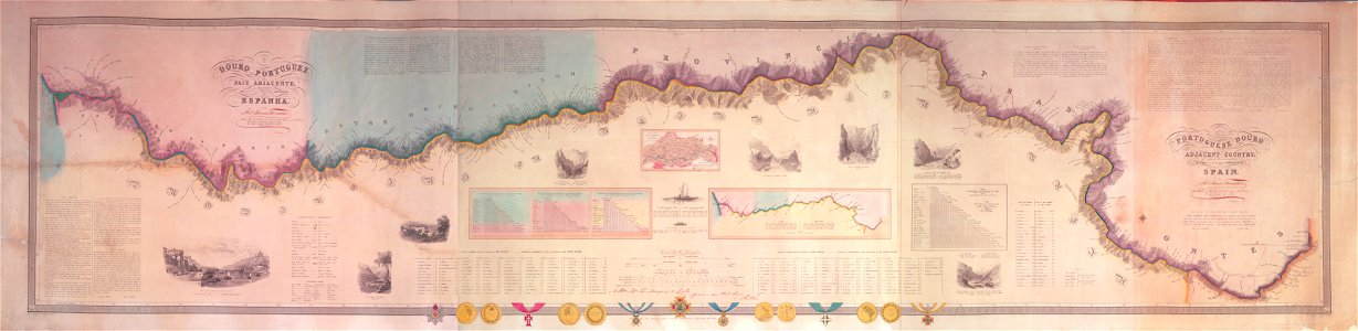
joseph james forrester
port wine
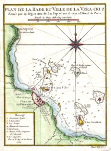
old maps of mexico
veracruz
david rumsey historical map collection
german-language maps
david rumsey historical map collection
german-language maps
david rumsey historical map collection
german-language maps
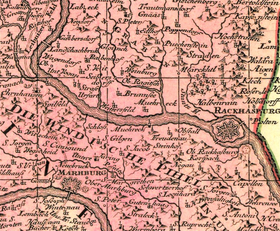
old maps of styria
slovene hills
coats of arms on maps
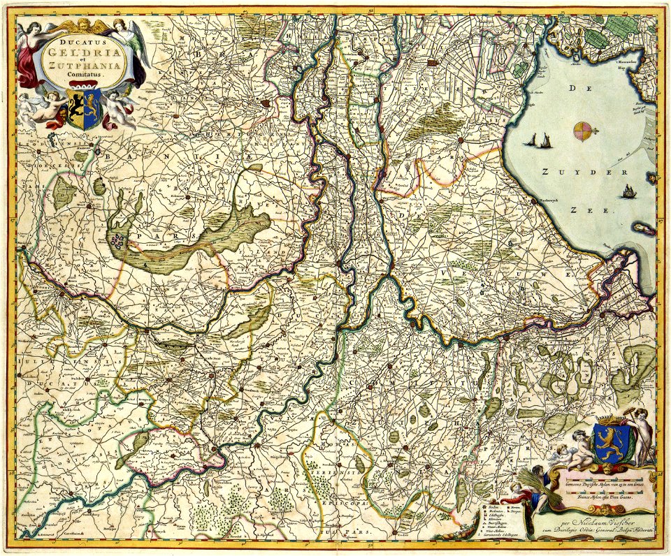
guelder
coats of arms of the crown of aragon
coats of arms on maps
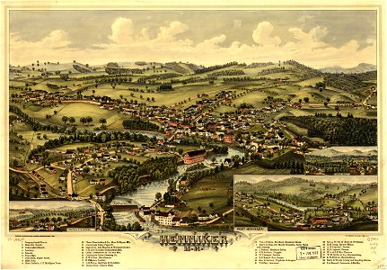
new hampshire
henniker
new hampshire
henniker
17th-century maps of the black sea
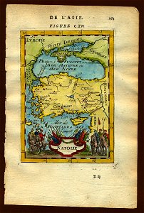
old maps of turkey
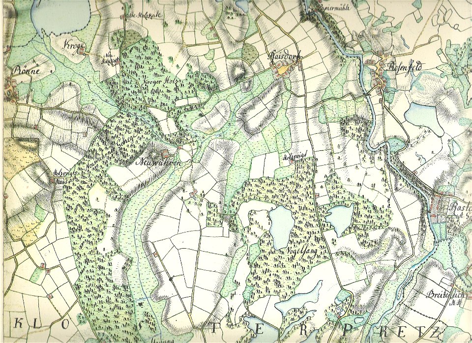
18th-century maps of schleswig-holstein
maps by gustav adolf von varendorf
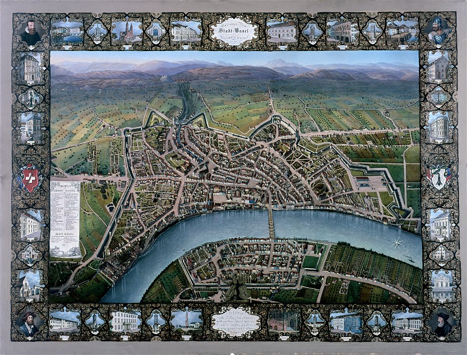
historisches museum basel
maps of basel
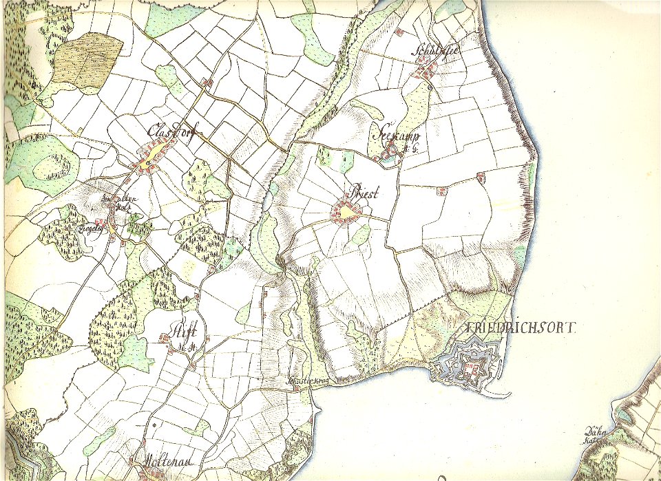
18th-century maps of schleswig-holstein
maps by gustav adolf von varendorf
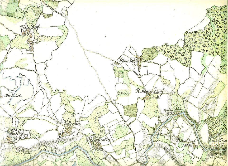
18th-century maps of schleswig-holstein
maps by gustav adolf von varendorf
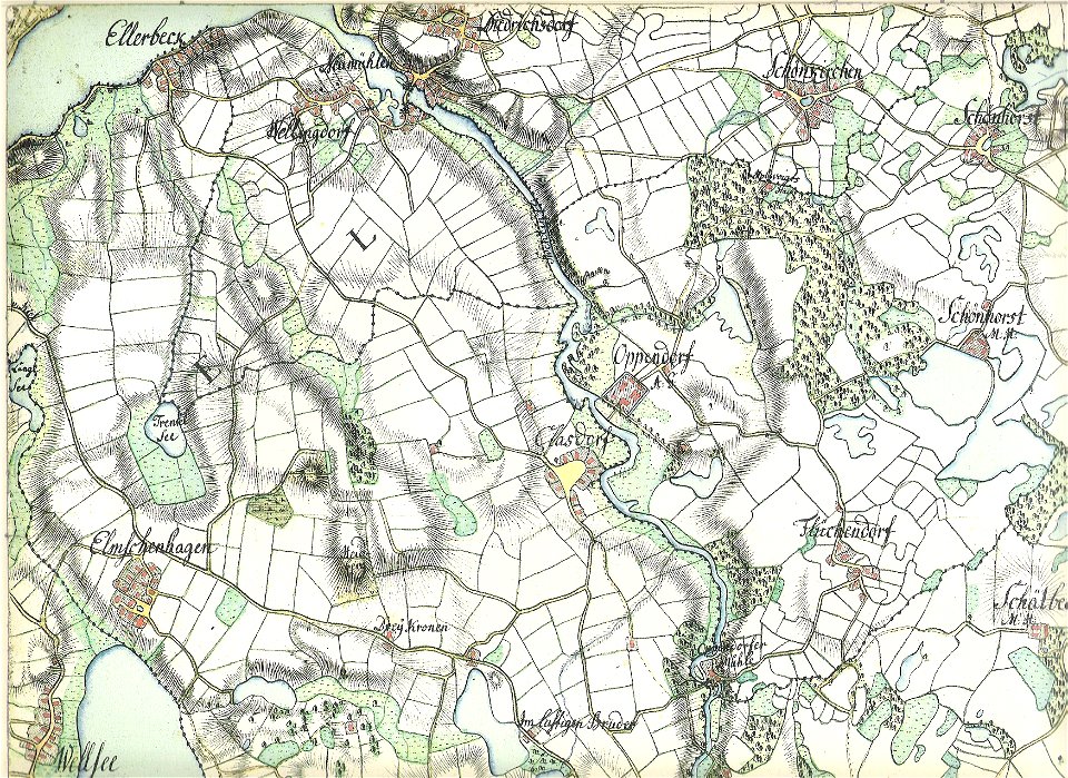
18th-century maps of schleswig-holstein
maps by gustav adolf von varendorf
18th-century maps of schleswig-holstein
maps by gustav adolf von varendorf
18th-century maps of schleswig-holstein
maps by gustav adolf von varendorf
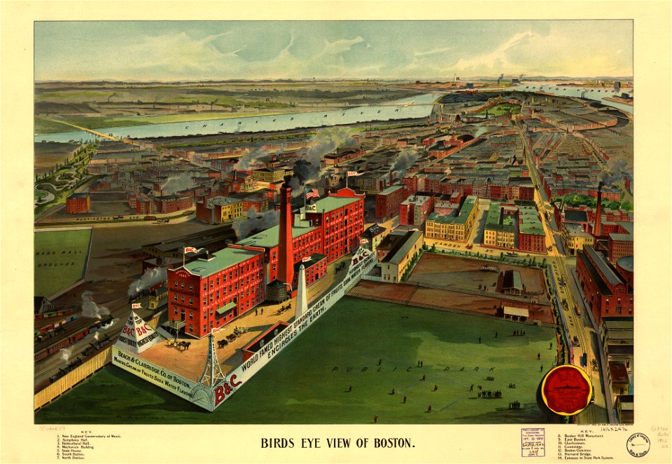
maps in the library of congress
o. h. bailey
maps in the library of congress
o. h. bailey
18th-century maps of schleswig-holstein
maps by gustav adolf von varendorf
18th-century maps of schleswig-holstein
maps by gustav adolf von varendorf
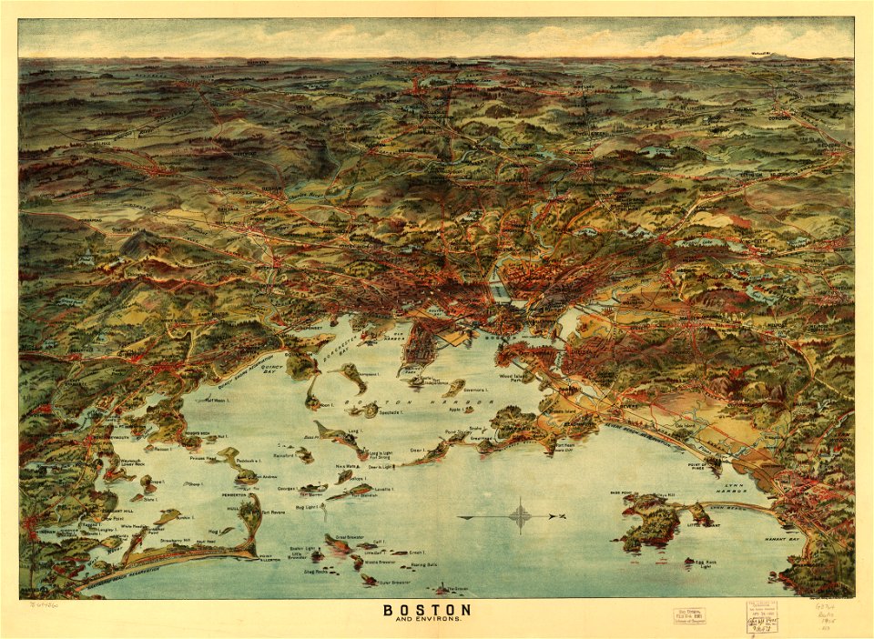
o. h. bailey
1894 maps
o. h. bailey
1894 maps
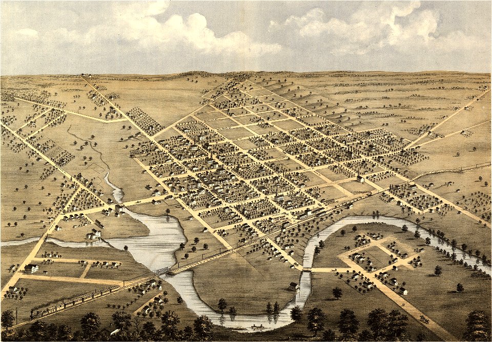
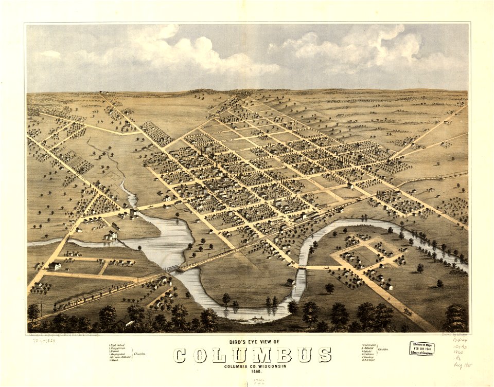
wisconsin
columbus
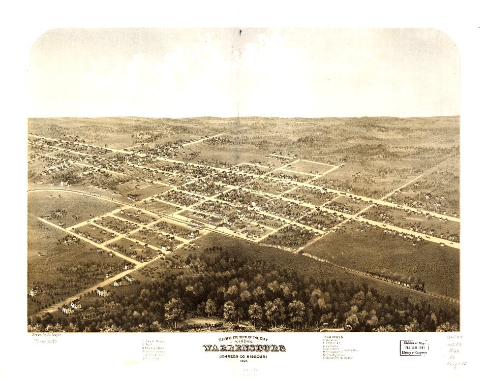
missouri
mexico
wisconsin
columbus
maps in the library of congress
1867 maps
maps in the library of congress
missouri
maps in the library of congress
missouri
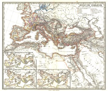
old maps of the roman empire
1865 maps
old maps of the roman empire
1865 maps
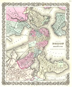
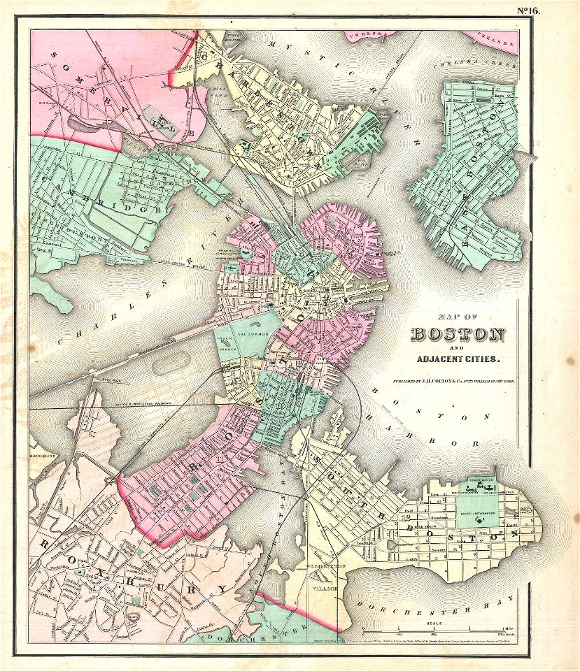
maps by joseph hutchins colton
1855 in boston
maps by joseph hutchins colton
1857 in boston
maps by joseph hutchins colton
1880 maps of new york (state)
maps with cartouches
braun & hogenberg
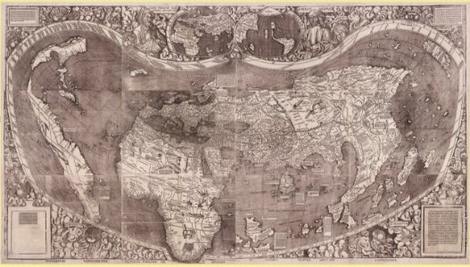
1500s maps of the world
waldseemüller map
maps by martin waldseemüller
1510s maps of the world
johannes ratelband
1747 maps
maps in the library of congress
o. h. bailey
maps in the library of congress
o. h. bailey
maps in the national library of australia
1572 maps
maps in the national library of australia
1572 maps
johann baptist homann
latin-language maps
maps in the library of congress
old maps of mexico
1701 - 1800 of 1,095,938
Next page
/ 10960